Summer Townet Survey
Description / purpose
The Diet and Condition study has provided information on the food habits of young pelagic fishes in the San Francisco Estuary (SFE) since 2005. This study was created to address questions of food limitation in young fish by understanding the types and amount of prey eaten among seasons and regions of the SFE. Food limitation can be an important factor to the annual recruitment success of fish that use the estuary as a nursery, such as ESA listed Delta Smelt (Hypomesus transpacificus) and Longfin Smelt (Spirinchus thaleichthys). We focus on the temporal and spatial differences in diet composition and foraging of native smelts and also non-natives such as age-0 Striped Bass (Morone saxatilis), Threadfin Shad (Dorosoma petenense), Mississippi Silversides (Menidia beryllina), Wakasagi (Hypomesus nipponensis), and age-0 American Shad (Alosa sapidissima). Data from this project has been used to inform the Fall Low Salinity Habitat Program (FLaSH), Directed Outflow Project (DOP), Management, Analysis and Synthesis Team reports, as well as life history models used for the conservation of fish and their habitats. Understanding what prey are utilized for food in the context of available prey, with the associated body-condition of fish, helps clarify the existence and timing of food limitation for young pelagic fish in the estuary. The focus of the study currently is to analyze existing diet data and report findings generated from study species, to inform Longfin Smelt foraging conditions, ongoing outflow management of Summer-Fall Habitat Action efforts, and Delta Smelt Supplementation evaluations of wild vs culture origin foraging success. Objectives 1. What are the diets of pelagic fishes (especially Delta Smelt and Longfin Smelt) in the estuary and do they vary regionally or temporally? 2. Is there evidence of reduced feeding success spatially or temporally in the estuary? 3. Is feeding success associated with changes in relative weight or condition of fish? 4. Is there seasonal and regional overlap of diets between species (with a focus on age-0 Delta Smelt, Longfin Smelt, Striped Bass, Prickly Sculpin, Pacific Herring, and Threadfin Shad)?
Linked science activities
None specified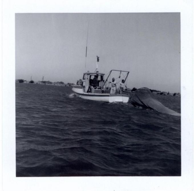
Collaborators
None specifiedActivity status
- 1 Awarded / Initiating (1959)
- 2 In progress / Ongoing (2009 - 2026)
- 3 Complete
Funding summary
Total allocated funding: $0
Location
Geographic tags
Products and outputs
| Type | Title | Description | Views |
|---|---|---|---|
|
|
Summer Townet Survey website | URL for the IEP Summer Townet Survey | 2 |
|
|
Summer Townet Survey Station Map | Station map for the Summer Townet survey | 2 |
|
|
The Tow-Net Survey Abundance Index for Delta Smelt Revisited | This paper describes an evaluation of a new mid-su | 0 |
|
|
Quality Assurance Protocol California Department of Fish and Game Central Valley Bay Delta Branch, L | QA/QC protocol for the Summer Townet Survey | 0 |
|
|
Summer Townet Survey data management plan | Data Management Plans (DMPs) are documents that | 0 |
|
|
Summer Townet IEP Fact Sheet | Factsheets are concise documents that explain p | 1 |